



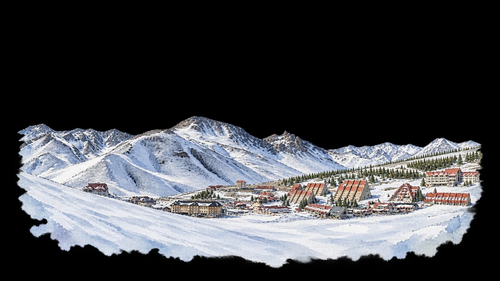
 Las Leñas, Argentina. Every ski winter from 1950 to 2025.
Every day of every winter
Each row is a winter, oldest at the top. Each column is a day, from the start of the season to the end. The darker the blue, the more snow fell that day.
Loading the daily snowfall…
Climate change
Average winter temperature at the summit
Faster warming than 0% of 736 resorts
+0.3°C+0.6°F
The trend: from -7°C19°F to -7°C20°F. Point at a winter to read it.
Snowfall at the summit
+3%
The trend: from 3.6 m141 in to 3.7 m144 in. Point at a winter to read it.
Powder days at the summit
±0 days
The trend: from 11 to 11. Point at a winter to read it.
Days with a base at the summit
+1 day
The trend: from 151 to 152. Point at a winter to read it.
Days with a base in the village
+2 days
The trend: from 149 to 151. Point at a winter to read it.
Each dot is one winter. The curve is a running average over about ten winters; the dotted line is the straight trend through all of them, and the changes above are measured along it. One winter is weather; the trend is climate.
Then and now
Then 1950–1979Now 1996–2025
- Snowfall at the summit+4%
Then
3.4 m136 in
Now
3.6 m141 in
- Snowfall in the village+4%
Then
2.2 m87 in
Now
2.3 m90 in
- Powder days at the summit+1 day
Then
11
Now
11
- Days with a base at the summit±0 days
Then
151
Now
151
- Days with a base in the village+1 day
Then
149
Now
150
- Average temperature at the summit+0.2°C+0.3°F
Then
-7°C19°F
Now
-7°C20°F
Averages per winter over the first and last 30 winters. A powder day brings 10 cm4 in or more of new snow; a base is 30 cm12 in or more on the ground.
Records
All winters
- 1950s19502.9 m115 in19514.0 m156 in19522.4 m96 in19534.1 m160 in19546.4 m252 in19551.0 m40 in19563.2 m125 in19574.0 m159 in19582.9 m114 in19593.8 m150 in
- 1960s19602.8 m109 in19614.4 m172 in19622.5 m99 in19634.8 m188 in19642.5 m100 in19654.2 m165 in19663.1 m121 in19671.8 m71 in196885 cm33 in19694.2 m165 in
- 1970s19701.8 m72 in19712.4 m94 in19725.9 m231 in19732.7 m106 in19743.4 m134 in19753.6 m140 in19763.0 m118 in19774.2 m165 in19785.6 m220 in19795.0 m195 in
- 1980s19803.0 m120 in19812.8 m109 in19829.0 m352 in19833.7 m145 in19845.4 m211 in19851.9 m76 in19864.2 m165 in19876.4 m251 in19883.0 m118 in19893.7 m144 in
- 1990s19902.2 m85 in19913.3 m130 in19923.7 m147 in19933.5 m138 in19944.4 m172 in19954.8 m187 in19961.8 m71 in19976.0 m236 in199899 cm39 in19993.7 m147 in
- 2000s20006.1 m240 in20014.9 m194 in20025.6 m220 in20032.8 m109 in20043.0 m119 in20056.3 m248 in20066.2 m244 in20073.1 m122 in20083.3 m128 in20094.2 m165 in
- 2010s20102.4 m94 in20112.6 m102 in20122.7 m104 in20132.1 m84 in20143.0 m118 in20154.1 m161 in20162.3 m90 in20173.4 m133 in20183.2 m125 in20191.7 m68 in
- 2020s20203.9 m155 in20212.4 m95 in20222.2 m86 in20237.1 m280 in20244.1 m162 in20252.2 m87 in
Modelled weather from ERA5 and ERA5-Land, not measured on the slopes. Snow depth is the average over a grid cell about 9 km wide, so it can differ a lot from what the piste report says. How SnowOdds works